이 페이지는 영어로 표시돼요.
Brooklyn Bridge
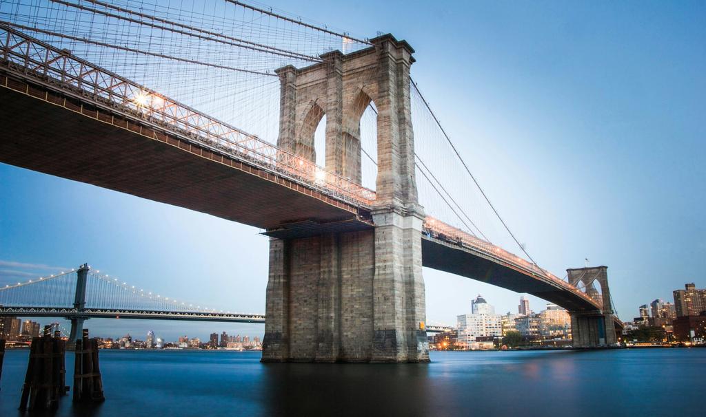
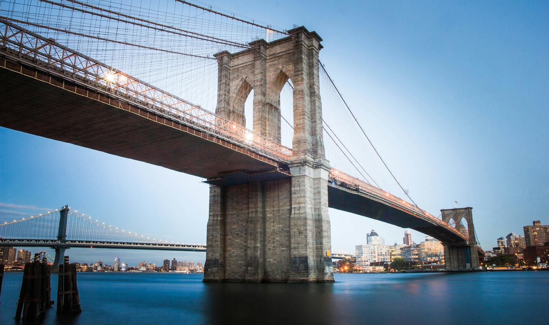
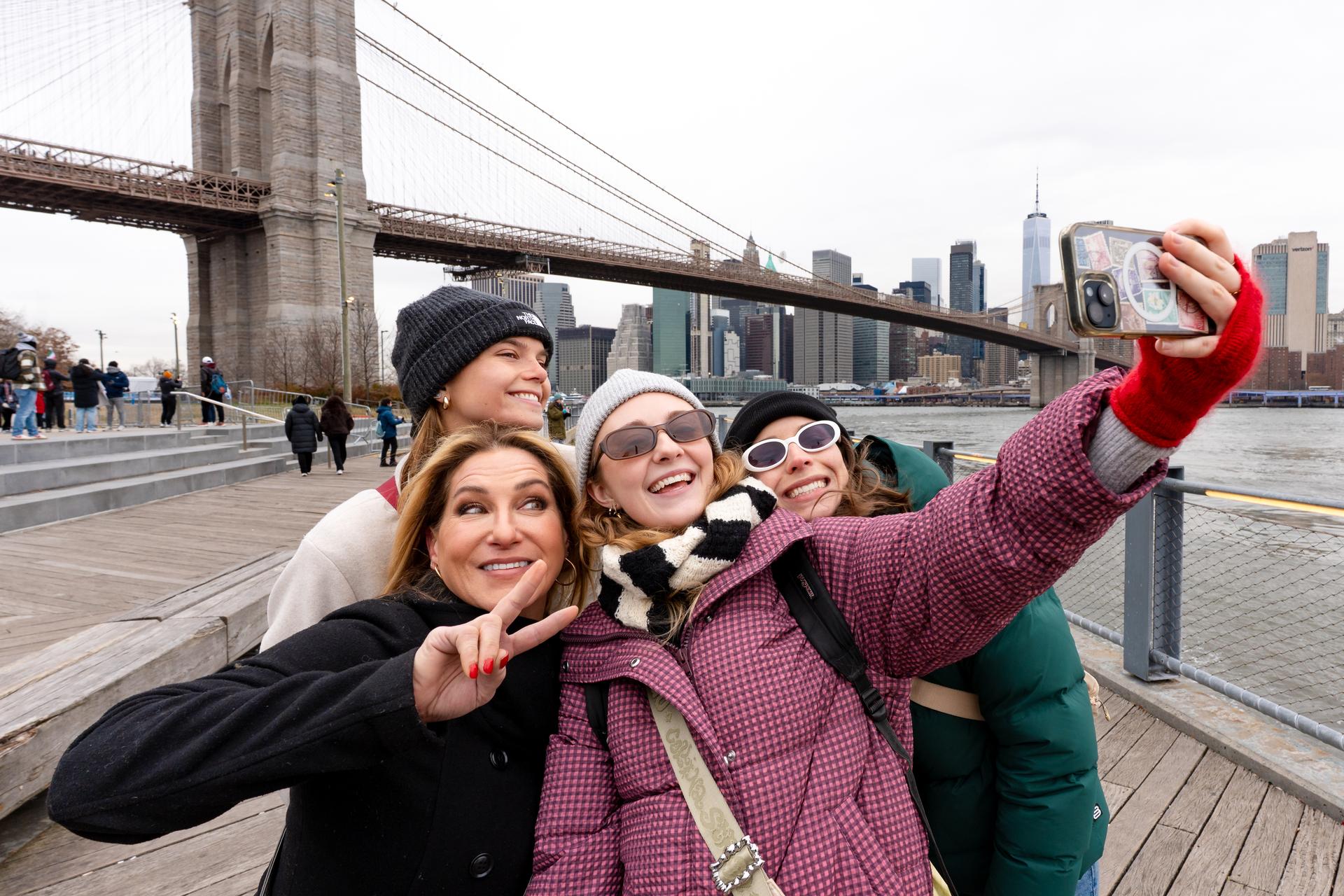
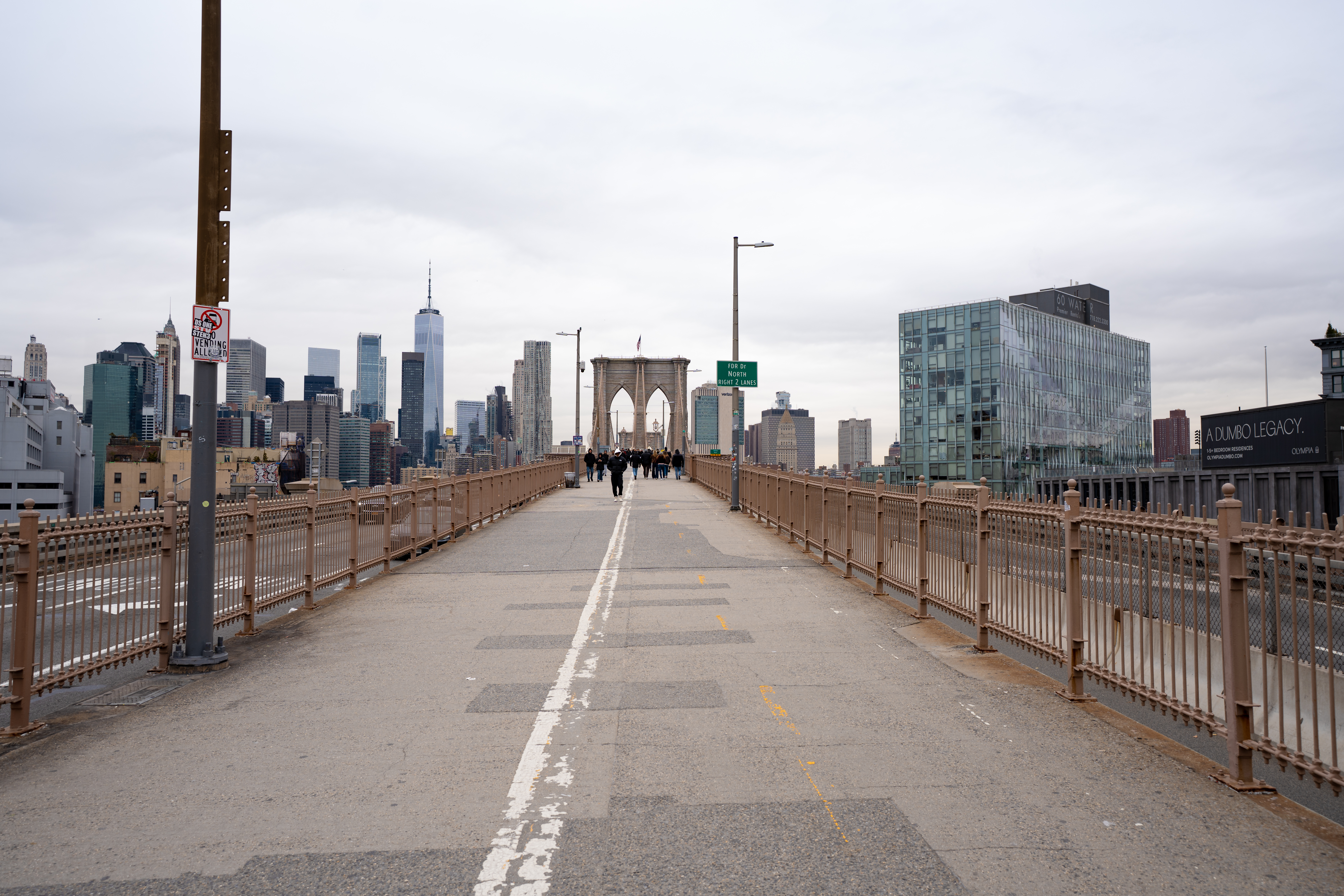
The Brooklyn Bridge is a suspension bridge over the East River connecting Manhattan and Brooklyn, open since May 24, 1883. A raised promenade runs above the roadway for the full 6,016-foot span, free to walk or bike, with views of the Manhattan and Brooklyn skylines and New York Harbor along the way.
방문 계획 세우기
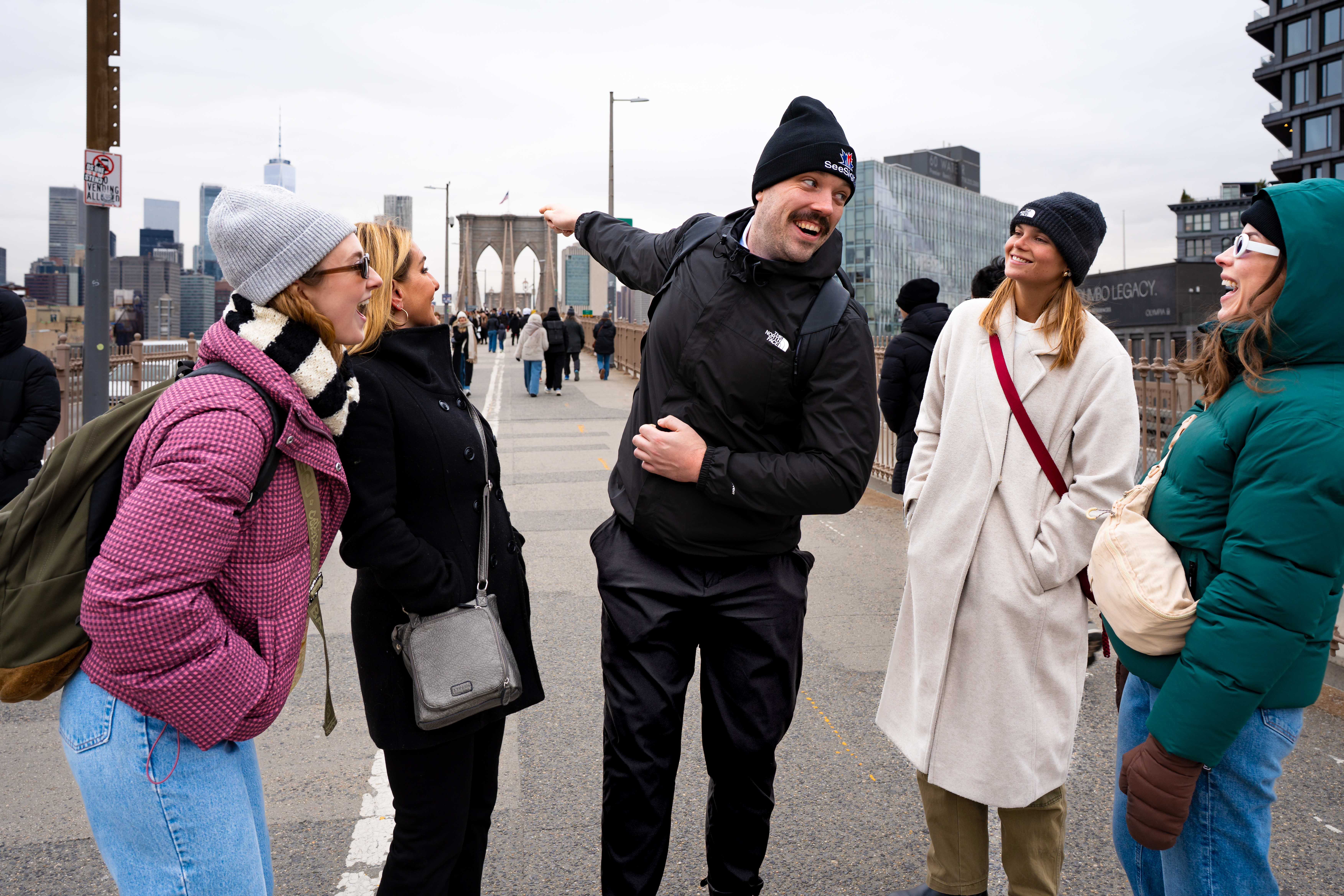
- The promenade is shared by pedestrians and cyclists on marked sides; stay on the pedestrian side and watch for bikes, especially near the entrances where the path narrows.
이런 경험을 만나보실 수 있어요
Brooklyn Bridge에서의 특별한 모험을 미리 만나보세요.
중요 정보:
준비물:
- Comfortable shoes. The full crossing, one way, is over a mile, and most visitors walk it both directions.
- Sun protection in summer; the promenade is fully exposed with no shade for most of the crossing.
- A phone or camera charged up. The skyline views from the middle of the span are the main reason most people make the walk.
Brooklyn Bridge 소개
Brooklyn Bridge
The Brooklyn Bridge has connected Manhattan and Brooklyn across the East River since it opened on May 24, 1883, and it remains one of the most recognizable bridges in the world. At 6,016 feet long, with a main span of 1,595.5 feet between its two stone towers, it was the longest suspension bridge in the world when it opened. An elevated promenade runs above the roadway for the entire crossing, separated from vehicle traffic below, free for anyone to walk or bike across.
The bridge was designed by engineer John A. Roebling, who died from an injury sustained while surveying the site before construction began. His son, Washington Roebling, took over as chief engineer and saw the project through, though he was left partially paralyzed by decompression sickness from working in the pressurized caissons that anchored the bridge's underwater foundations. His wife, Emily Warren Roebling, studied engineering to help him and effectively managed day-to-day construction on site for years, a role widely credited as essential to the bridge's completion. On opening day, an estimated 150,300 people and 1,800 vehicles crossed.
✨ Highlights
- A free, elevated pedestrian and bike promenade with skyline views over Manhattan, Brooklyn, and New York Harbor.
- The bridge's stone towers and cable architecture, largely unchanged since 1883.
- A roughly mile-long crossing connecting Manhattan's Financial District to Brooklyn's DUMBO neighborhood.
📖 History
Construction began in 1870 and took 14 years, at a human cost that included around 27 worker deaths, several from decompression sickness contracted while working in the underwater caissons that anchored the towers. The bridge was a feat of engineering for its era, combining steel cable suspension with a design intended to be strong enough that Roebling reportedly built in a large safety margin over what the calculations required. It has been continuously in use since 1883 and is maintained today by the New York City Department of Transportation.
📍 How to Get There
The Manhattan side of the bridge is reachable on foot from City Hall Park near the Brooklyn Bridge-City Hall subway stop; the Brooklyn side lands near DUMBO and Brooklyn Heights, close to the York Street and High Street subway stops. [CONFIRM the most current recommended subway connections and entrance points before publish; that detail is not sourced in this draft.]
📌 Good to Know
The promenade is open around the clock and free to use. It gets crowded in the middle of the day, especially on weekends, and the surface can be uneven and busy where pedestrians and cyclists share limited width near both entrances. [CONFIRM current construction or closure notices before publish, since portions of the promenade have periodically closed for renovation work.]
자주 묻는 질문
이곳에 들르는 모든 투어 보기: New York 투어 페이지.
New York의 다른 명소
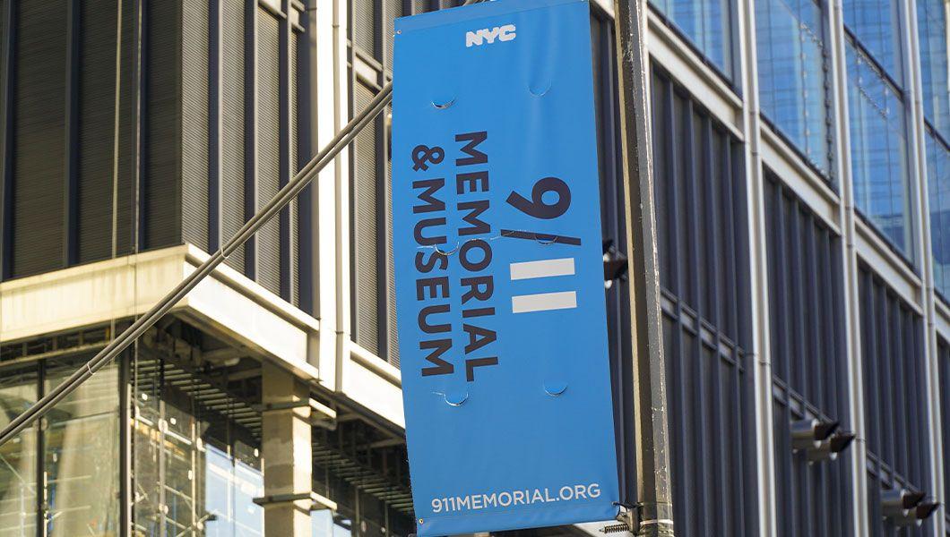
9/11 Memorial and Museum
New York
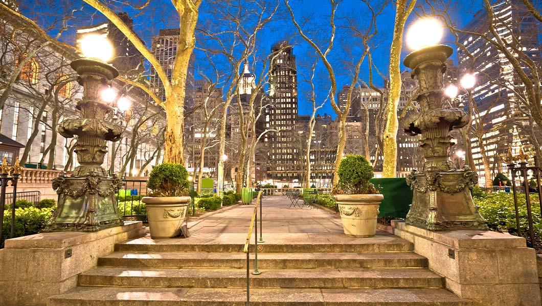
Bryant Park
New York
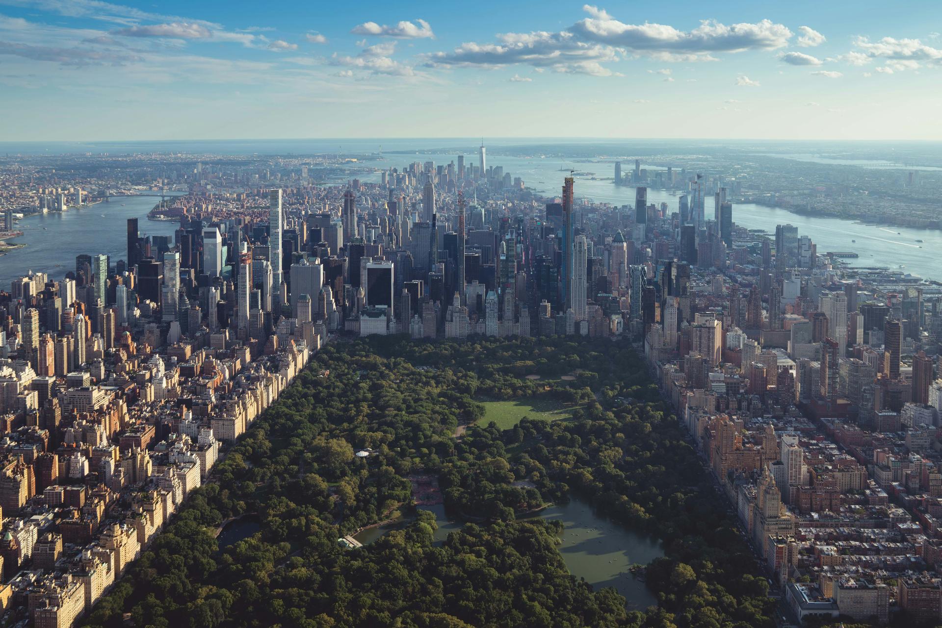
Central Park
Manhattan 한가운데를 가로지르는 843에이커 규모의 공원으로, 무료로 입장할 수 있어요. 공원 안에는 Bethesda Terrace, Central Park Zoo, Bow Bridge 같은 명소가 있어요.
New York
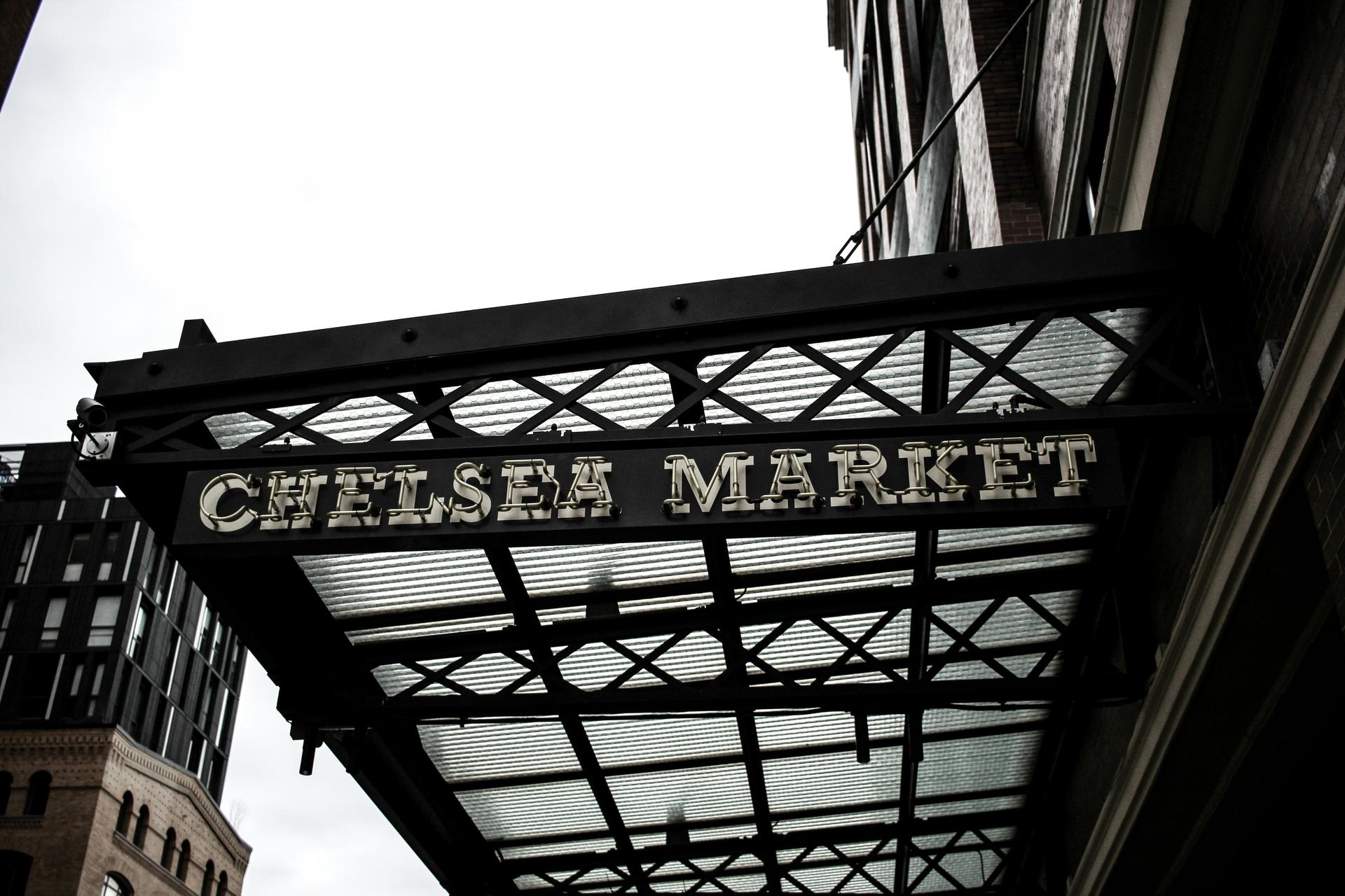
Chelsea Market
Chelsea Market에서 세계 각국의 요리와 수제 공방 상점, 역사가 느껴지는 건축물, 맛있는 먹거리 가게를 만나 보세요. 활기 넘치는 맨해튼 시장의 매력을 느낄 수 있어요.
New York
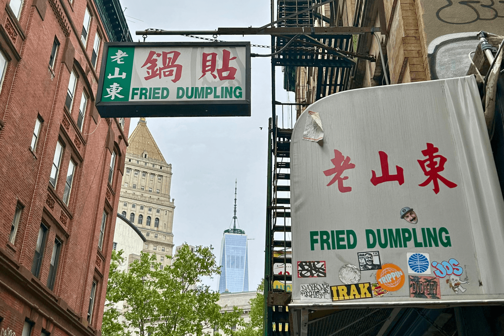
Chinatown
New York
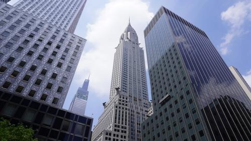
Chrysler Building
New York

See Sight Tours는 2006년부터 북미 전역에서 여행 서비스를 제공해 왔어요. 캐나다와 미국 20개 도시에서 운영하며, 여행객에게 맞춤화된 고품격 경험을 선사하는 소규모 그룹 투어를 전문으로 해요.


